
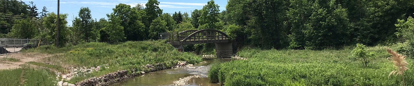
Building the Humber Trail
The City of Vaughan has partnered with the Toronto and Region Conservation Authority (TRCA) to complete a feasibility study to explore ways to expand the Humber Trail and connect a seven-kilometre gap between Boyd Conservation Area and Steeles Avenue West.
The Humber Trail Feasibility Study started in May 2018 and explores potential routes for the new trail. The study aims to select options that balance the current and future recreational and transportation needs of residents with the ecological functions of the natural heritage system of the Humber River Valley, ensuring the protection and enhancement of environmental features and functions.
The project is now entering its next phase and the City would like to engage the public on findings to date.
GET INVOLVED!
Engagement on the Humber Trail Feasibility Study is now closed.
From Monday, June 8 to Sunday, July 4, 2021, the City invited the community to provide input on several aspects of the feasibility study, including proposed route options and priority projects. We also asked for your thoughts and ideas on how to encourage more residents to use Vaughan’s trails. Thank you to those who participated.
The final feasibility study report (PDF) and a summary of feedback collected from the community (PDF) was presented in Vaughan Council in fall 2021. Timelines for the detailed design and construction on each segment will be subject to securing funding for implementation.
-
About the Humber Trail
Share About the Humber Trail on Facebook Share About the Humber Trail on Twitter Share About the Humber Trail on Linkedin Email About the Humber Trail linkThe Humber Trail forms part of and further advances the Vaughan Super Trail, a bold initiative to create a world-class, identifiable trail that links communities and connects people with nature, cultural heritage, communities and special destinations throughout the city of Vaughan.
The Humber Trail also forms part of the TRCA Trail Strategy for the Greater Toronto Region Trail Network. The Trail Strategy outlines TRCA’s plan to work with partners to complete, expand, manage and celebrate the Greater Toronto Region Trail Network, a connected trail network in our regional greenspace system. It serves as a framework to protect potential trail alignments, and to guide the planning, development and management of these trails. TRCA’s progress on implementing the Trail Strategy can be found on the TRCA Trail Strategy Dashboard.

Click to view a larger version of this map (PDF).
Follow project

