
Lawford Area Traffic Study
Consultation has concluded
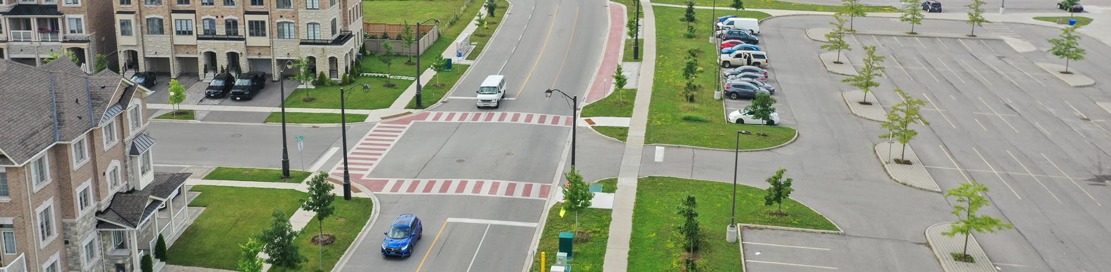
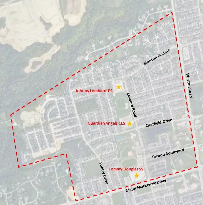
The City of Vaughan is conducting a traffic study for Lawford Road and the surrounding area (north of Major Mackenzie Drive, west of Weston Road, south of Teston Road and east of Pine Valley Drive). This study is being undertaken in response to concerns raised by the community regarding speeding, road safety and traffic volume. It will assess the traffic operations within the Lawford Road area, which includes Stanton Road, Chatfield Drive and Poetry Drive, and connecting local roads.
By assessing traffic operations in this neighbourhood, the City can identify additional road safety opportunities for pedestrians, cyclists, transit riders and vehicular road users to serve all modes of transportation better. This review will also help City staff make recommendations on short- and long-term implementation plans to address any areas for improvement, which is anticipated to be presented to Council for approval in late 2023.
Get involved!
Engagement on this study is currently closed.
Thank you to everyone who participated in Phase 1 and 2 of the Lawford Area Traffic Study.
In Phase 1, we saw a high rate of response from the community, with 20 residents attending the virtual information session, nearly 400 residents completing the online survey, and over 70 pins dropped on the interactive map, identifying specific areas of concern regarding road safety in the Lawford Road area. The presentation slides (PDF) from the virtual information session are publicly available online.
Phase 2 focused on gathering community input to shape the proposed solutions for addressing road safety and enhancing transportation in the area. Nearly 200 community members participated in a second online survey, attended an in-person open house at Tommy Douglas Secondary School or emailed comments directly to the project team. The presentation slides (PDF) from the open house are publicly available online.
Subscribe to the Vaughan Engagement eNewsletter

For more project information visit vaughan.ca/LawfordStudy

Who's listening
-

Email Sadia.Khan@vaughan.ca -

Email jeffrey.suggett@cima.ca